

Lenora
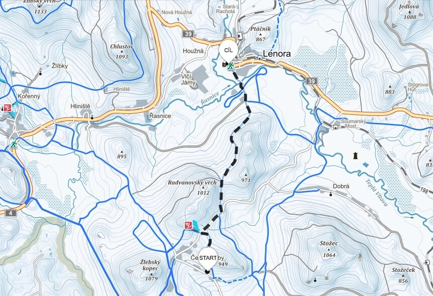
Hotel České Žleby – Lenora
The route leads to the village of Lenora and back, measuring a total of 6 kilometers.
Highest point: 929 m a.s.l.
Lowest point: 754 m a.s.l.
The route is pleasantly long, with history breathing on you along the way. Today you can admire the glass in the local glass museum.
Route map
Haidmühle
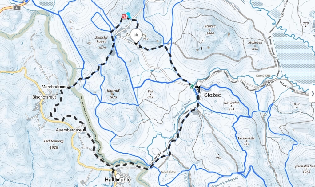
Hotel České Žleby – Bischofsreut – Haidmühle – Stožec – Hotel České Žleby
The route measures a total of 22.5 kilometers.
Highest point: 977 m a.s.l.
Lowest point: 774 m a.s.l.
The path takes you to the picturesque town of Haidmühle. This village is located in the Lower Bavarian district of Freyung-Grafenau, near the border with the Czech Republic.
Route map
Lake Plešné
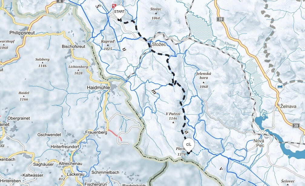
Hotel České Žleby – Lake Plešné – Hotel České Žleby
The route measures a total of 33.4 kilometers
Highest point: 1089 m a.s.l.
Lowest point: 775 m a.s.l.
Route map
Schwarzenberg Canal
Hotel České Žleby – Technical monument Schwarzenberg Canal – Hotel České Žleby (The route measures a total of 28.6 kilometers)
Highest point: 986 m a.s.l.
Lowest point: 754 m a.s.l.
Currently, 15 km of the original length have been restored; these sections are declared technical monuments.
Route map
Třístoličník
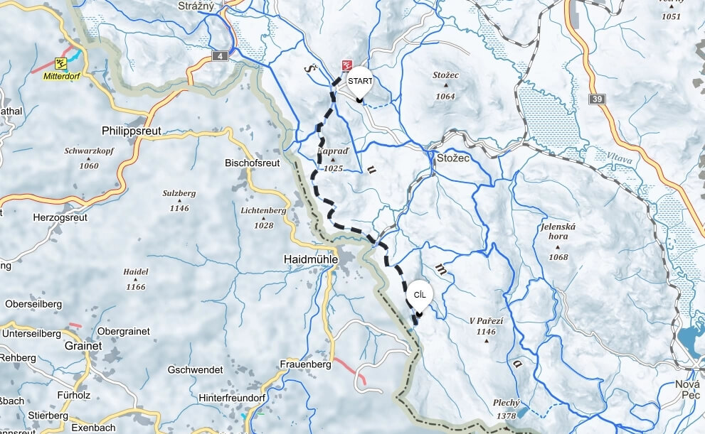
Hotel České Žleby – Třístoličník – Hotel České Žleby (The route measures a total of 40 kilometers)
Highest point: 977 m a.s.l.
Lowest point: 774 m a.s.l.
At the end of the route, a beautiful viewpoint and pleasant seating await you on the summit of Třístoličník. The mountain got its name due to its location at the meeting point of the borders of Bohemia, Bavaria, and Austria.